| Versione | 4.7.3 |
|---|---|
| Dimensione | 66 MB |
| Aggiornato | 1 ott 2026 |
| Categoria | Strumenti |
| Richiede | Android 8.0 |
| Info MOD | Premium |
| Google Play | com.gregacucnik.fishingpoints |
Funzioni MOD
- Premium.
Fishing Points is a fishing assistance tool designed for both freshwater and saltwater anglers. The app does more than just display maps; it integrates weather information, tide data, fish behavior, solunar data, nautical charts, and a fishing diary into one convenient location. This allows users to plan their fishing trips, save favorite spots, and note down details after each outing.
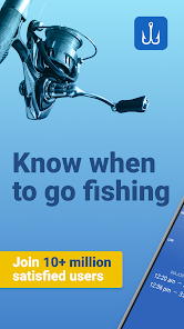
Fishing Spots Map and Fish Activity Times
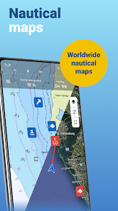
One of the standout features of Fishing Points is its ability to help anglers identify and store ideal fishing locations. Users can mark fishing spots, waypoints, favorite areas, trolling or trotline routes directly on the map. The app supports various map types such as satellite and nautical charts, and offers offline mode for certain nautical maps.
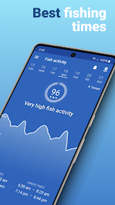
In addition to showing locations, the app also provides predictions of when fish are likely to be active based on solunar data, tides, and weather conditions. Clear primary and secondary activity hours are displayed hourly, making it easy for anglers to choose the best time to head to shore or board a boat.
Weather, Tide, and Water Condition Monitoring
Fishing Points collects and compiles various data that affect fishing success. Users can check temperature, rainfall probability, precipitation levels, humidity, UV index, wind speed and direction, gusts, atmospheric pressure, and weather alerts. For marine areas, the app also provides wave information, wave height, sea surface temperature, and current data.
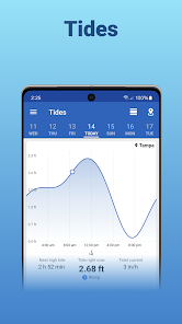
Tide data is also displayed in chart form, including times of high and low tide, as well as tide flow forecasts. For river areas, the app shows water level and flow rate data from supported stations.
Recording Fishing Trips and Managing Favorite Spots
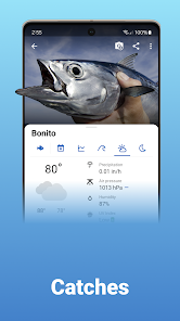
After each outing, Fishing Points allows users to create a fishing log with details such as photos, fish weight, and length. Weather, solunar, and tide data can be automatically added to the log, helping anglers easily review conditions at the time of catch.
The app also allows data synchronization between devices and includes a Web App version, helping users easily view information, plan trips, or analyze fishing activities on larger screens. Additionally, you can import KMZ and GPX files from GPS devices or other apps to continue using existing location data.
Fishing Points – Tips and Guide
To get started with Fishing Points, you should first identify fishing areas on the map, then save potential spots as waypoints or fishing locations. When returning to these spots, your phone's GPS will help locate previously saved positions.
Before heading out fishing, check multiple factors like Fish Activity, Weather, and Tides rather than focusing on just one indicator. For saltwater fishing, pay attention to wind, waves, currents, and water temperature. In contrast, freshwater fishing benefits more from weather data, water levels, and local maps.
Conclusion
Fishing Points is a comprehensive and useful tool for anglers who want to integrate maps, weather forecasts, tide information, and fish activity data while planning their fishing trips. Features like saving fishing spots, tracking movement routes, logging fishing diaries, and data synchronization make the app valuable not only before going out but also for long-term storage of fishing experiences.